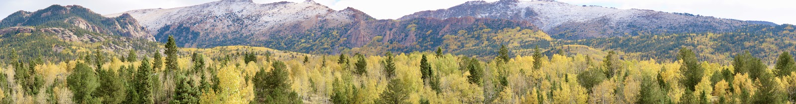
Road trip with friend Beth for the day to Lamar and back. Stopped in Las Animas both ways for gas, etc. The morning locals hanging out at the little food court in the gas station on our way out looked pretty surprised to see someone from out of town at first. Looked for Northern Cardinals in Lamar Community College woods - did hear them but never saw them. There was a weird marathon (on a Tuesday?!) going on next to the woods which might have made it less birdy, but it was chilly and windy anyway. I looked up the marathon online - part of a five-day-five-marathons-in-five-states event called the
Dust Bowl Series. The one in Lamar is just an up and back Willow Creek Park trail about 12 times to make the marathon. Nuts if you ask me. :) All the runners we saw were really slow/walking but I guess that makes sense if you're doing five of them in a row! Lamar seems like a nice, decent-sized town and the college was very nice too - nice campus! In the Willow Creek Park there was a tower built by the WPA commemorating Zebulon Pike camping near there in November, 1806.

Guinea Fowl - can we count these on our life lists? :)
Santa Fe Trail in John Martin Reservoir land area
Next we went to John Martin Reservoir. Not birdy there either, but we did a nice show of two Clark's Grebes doing their little mating dance, and we came across a section of the Santa Fe trail that we didn't realize we'd be encountering. The pile of rocks was near the trail pretty much in the middle of nowhere which inspired my imagination - an old campfire or grave from next to the trail? Probably just a more modern camp site, but maybe not. :)
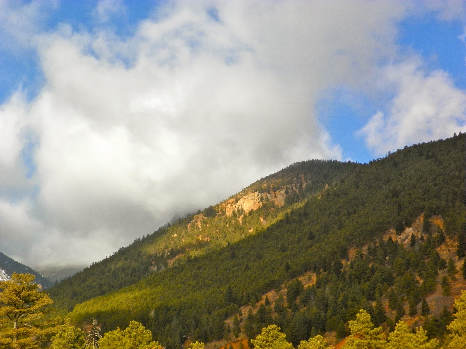
We also stopped at Oxbow State Wildlife area next to Bent's Fort. Was able to see the Fort from the road but didn't stop there. Interesting to think about our journey compared to people arriving at that fort in a wagon. It was pleasant - lots of Meadowlarks singing and good views of the Arkansas River in a few places - seems to have the potential for good birds during migration.
Our last stop was the little Birdsall Rd. pond near Fountain - that was a good stop - Cinnamon Teal, Great-tailed Grackle, Mountain Bluebirds, Curve-billed Thrasher, Geese and RW Blackbirds, Kestrels and calling coyotes.