Very hot today at 97 degrees along with a late start, but great views of Pikes Peak on this hike. We started in Cascade and hiked up to Rampart Range Road, via some dirt roads past potential development lots to the star on the hillside, and then onto a fairly faint trail to the Rampart Range Road. It was a very steep climb a few places along the way - this one felt like one of the more physical hikes we've had even though it was not the longest distance. Trekking poles came in handy. The trail seems to be very little used, probably largely unknown due to development below - some of the lower trails showing on the Pikes Peak Atlas are gone or are roads now. Good adventure. The trail was very loose gravel at the steepest part and we worried about the descent, but there was actually enough gravel to "dig in" so that it went much better than expected. This was just pre-fire, so I do not know if the trail exists anymore but I believe it is likely 'closed'.

View southeast down Ute Pass.

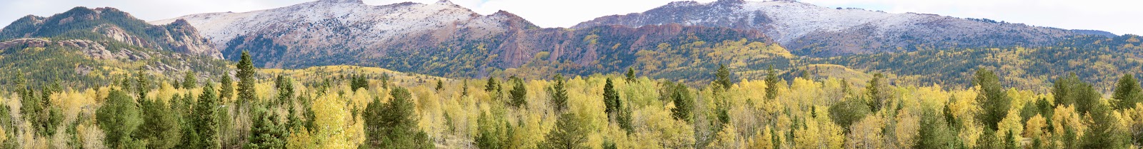
That little round circle middle right is the "half-way" point where we exit the dirt road and take off on the little-used trail. We need to go about this far from there again to the road.
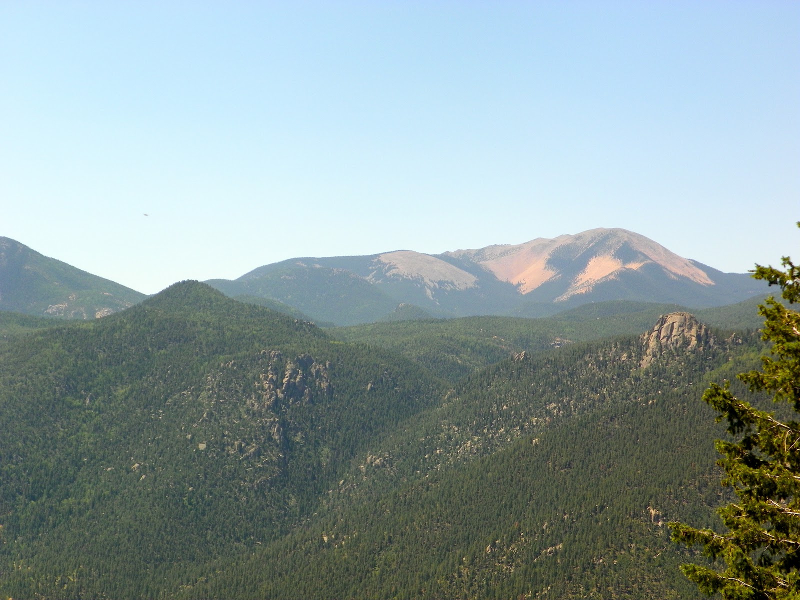
Nice views of Almagre from here.

After some steep gravel stuff much more of the Peak comes into view.


Caught just a bit of the Cog train (top right).

Bear sign.

Human sign - looks old.

It was an accomplishment to make it to Rampart Range Road. We rested here for a bit.

Smoke from the Springer Fire between Eleven-mile and Lake George, on the way back down.


Beautiful blue sky.
No comments:
Post a Comment